Book a Call

Edit Template

Space Borne

🚀 Explore Our Geospatial Powerhouse
Smart Solutions. Real Impact |

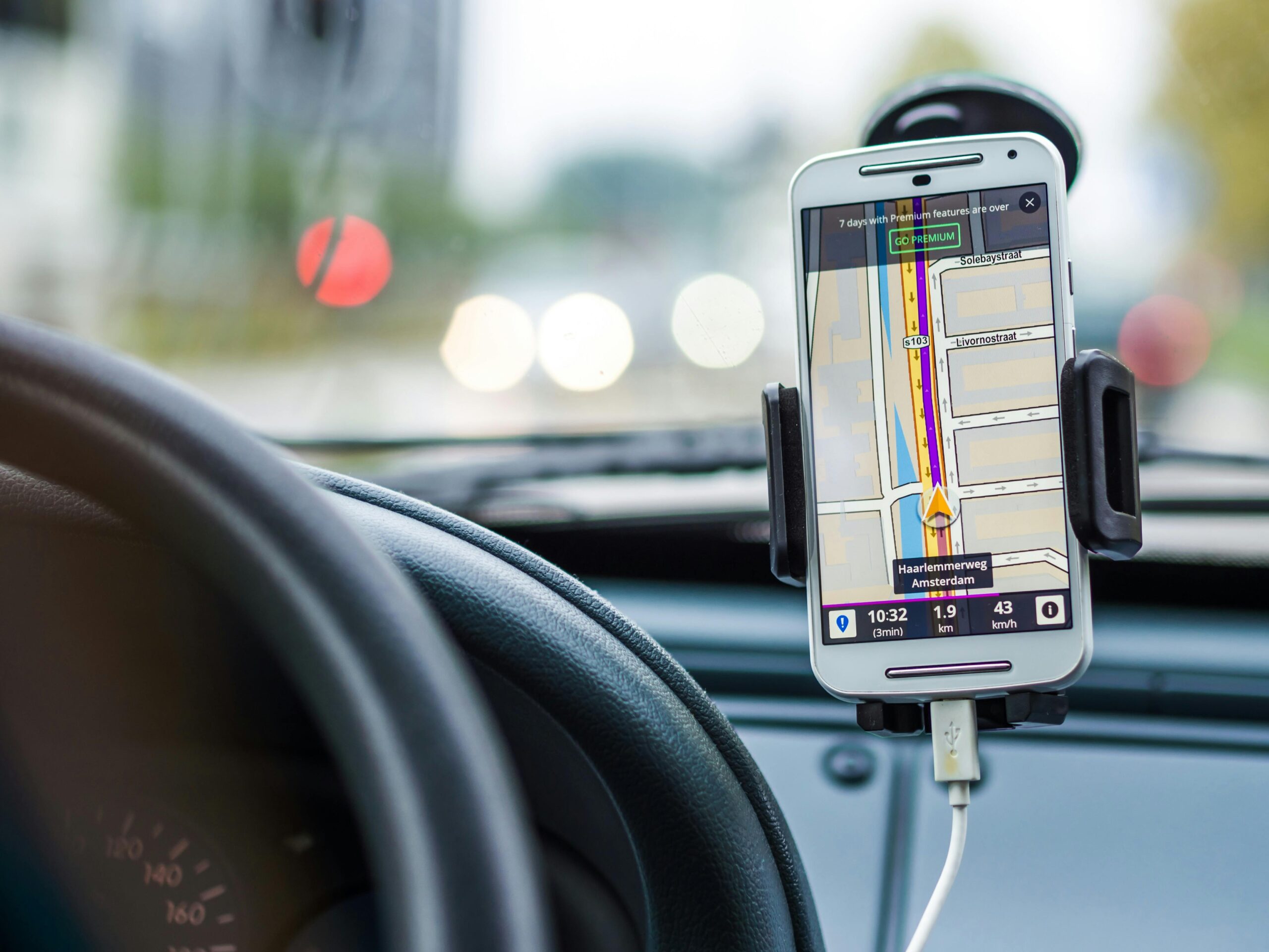
From mapping cities to monitoring forests, our cutting-edge GIS, Remote Sensing, and Image Processing services turn data into powerful insights — tailored for your industry, driven by precision.

Our Services

At Space Borne, we offer a wide range of geospatial services designed to support decision-making across various sectors. From GIS mapping and spatial analysis to remote sensing, image processing, and domain-specific solutions—our expertise empowers governments, researchers, and industries to harness the power of geospatial intelligence. Whether it’s urban planning, agriculture, environment, or infrastructure development, our services are tailored to deliver accurate, data-driven results.

🌍 Core GIS Services

Unlock location intelligence with advanced mapping, spatial analysis, and geodatabase solutions tailored to your needs.

🛰️ Remote Sensing Services

Turn satellite data into actionable insights for land use, environmental monitoring, and temporal change detection.

🖼️ Image Processing Services

From classification to feature extraction — transform raw imagery into ready-to-use geospatial intelligence.

🌱 Environmental & Natural Resource Services

Map, monitor, and manage natural resources and environmental changes with precision-driven geospatial tools.

🏗️ Urban & Infrastructure Services

Support smart cities and infrastructure planning with high-resolution spatial data and geospatial modeling.

🌾 Agriculture & Land Services

Empowering farmers and agri-businesses through crop monitoring, yield prediction, and soil health mapping.

🌊 Water Resources & Hydrology

Analyze watersheds, predict floods, and map groundwater potential using geospatial hydrological modeling.

📊 Training & Consultancy

Get trained by experts or consult us for end-to-end GIS and RS solutions tailored to your project goals.

🌱 Forestry & Ecology

Monitor forest cover, assess biodiversity, and manage ecological resources using advanced GIS and remote sensing tools.

About Us

What Sets Our Business Apart for Your Selection

Space Borne is a leading provider of cutting-edge Geospatial, Remote Sensing, and Image Processing solutions. With a passion for transforming data into actionable insights, we serve diverse industries, including urban planning, environmental monitoring, agriculture, disaster management, and infrastructure development. Our mission is to deliver innovative, data-driven solutions that help businesses, governments, and research organizations make informed decisions.

Any Question?

We’re here to help! Whether you’re exploring our GIS and Remote Sensing services or looking to enroll in a training program, our team is ready to guide you. If you have any questions, feel free to reach out — we’d love to hear from you and help you find the right solution for your needs.

About Us

Our Story

Team

Clients

Testimonials

Social Media

Services

GIS & Mapping

Remote Sensing

Image Processing

Agriculture

Hydrology

Portfolio

Case Studies

Projects

Success Stories

Latest Posts

Blogs

© 2023 –  Space Borne

WhatsApp
Hello! 👋
Need help with services?
Chat on WhatsApp